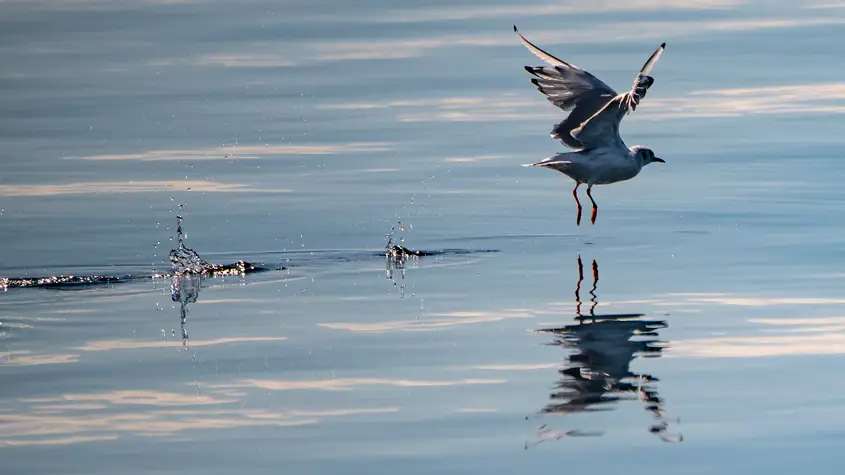
Discover the St. Lawrence River
The St. Lawrence River is one of Quebec’s main attractions because of its magnificent beauty, rich history and impressive fauna and flora. Discover why it remains to this day an integral part of our everyday lives.
A few statistics
- 17th longest river in the world
- Source: Mouth of Lake Ontario, in Kingston
- Length: 1,600 km (from Lake Ontario to the Atlantic ocean)
- Width: 100 km in Sept-Îles
- Dotted with 600 islands and archipelagos
- Includes 3 lakes: Lake Saint-Louis, Lake Saint-François, Lake Saint-Pierre
- 350 rivers flow into it
- Tides can reach up to 7 m in St-François de l'Île d'Orléans
- Tides stop at Trois-Rivières
- The salinity of the water begins east, downstream of Île d'Orléans (salty up to Tadoussac and brackish up to Cap Tourmente)
- 3 sections: the river, the estuary and the gulf
- Navigable during all seasons
- Drainage basin: 1/10 of the world's freshwater reserves
- 80% of the population of Quebec lives on the shores of the St. Lawrence
From the "Walking River" to the "St. Lawrence''
When the first Europeans ventured onto the waters of the St. Lawrence, they gave it many names, such as "Cod River" and "Great River".
However, long before, the Natives had nicknamed it the "Walking River" during summer and the "Sliding River" during winter.
However, it is to the explorer Jacques Cartier that the official discovery of the river is conceded in 1535. He named it "Saint Laurent", referring to the name of the saint of the day, August 10th, when it is said Jacques Cartier first traveled to the region.
Geological formation of the youngest river in the world
The St. Lawrence Valley was occupied, nearly a billion years ago, by a plateau with an elevation, similar to that of present-day Tibet. About 600 million years ago, the supercontinent Pannotia broke up into four sub-continents, Laurentia, Baltica, Siberia and Gondwana, which gave rise to an immense ocean called Iapetus. At the same time, numerous breaks and trenches were formed along the axis behind the actual St. Lawrence River.
During the last Wisconsin glaciation, a huge ice cap, the Laurentide Ice Sheet, covered a large part of the North American continent. As the ice retreated due to global warming about 12,000 years ago, it gave way to a vast inland sea, the Champlain Sea, in the present-day St. Lawrence River valley.
Following the elevation of the land by a phenomenon of isostasy the sea withdrew in turn to make way for the current St. Lawrence River.
The complete melting of the Laurentide Ice Sheet, around 6,500 B.C., gave birth to the St. Lawrence River system.
Settlement of the valley
From the Natives to the French
Archaeological digs have shown that the Natives' presence along the river dates back to nearly 9,000 BC.
The Vikings were the first Europeans to land in America, on the coast of Labrador around the year 1000. Five centuries later, Basque fishermen were hunting whales in the St. Lawrence. 1534 marks the arrival of Jacques Cartier and the birth of New France!
The river, a true gateway
The river was the gateway through which Europeans arrived in North America, hence its great importance when it came to the development of this new territory. Fishing along its coastline and especially fur trade, led to a deep exploration of the waterway and its land. This trade, which was increasingly practiced, allowed the construction of posts along the river, which brought human occupation. Therefore, industrialized villages and cities emerged.
Today
The arrival of maritime traffic on the St. Lawrence allowed for exchanges of all kinds and the development we know today. The river now welcomes travelers from all over the world, all eager to learn about the many secrets the river can unveil.


